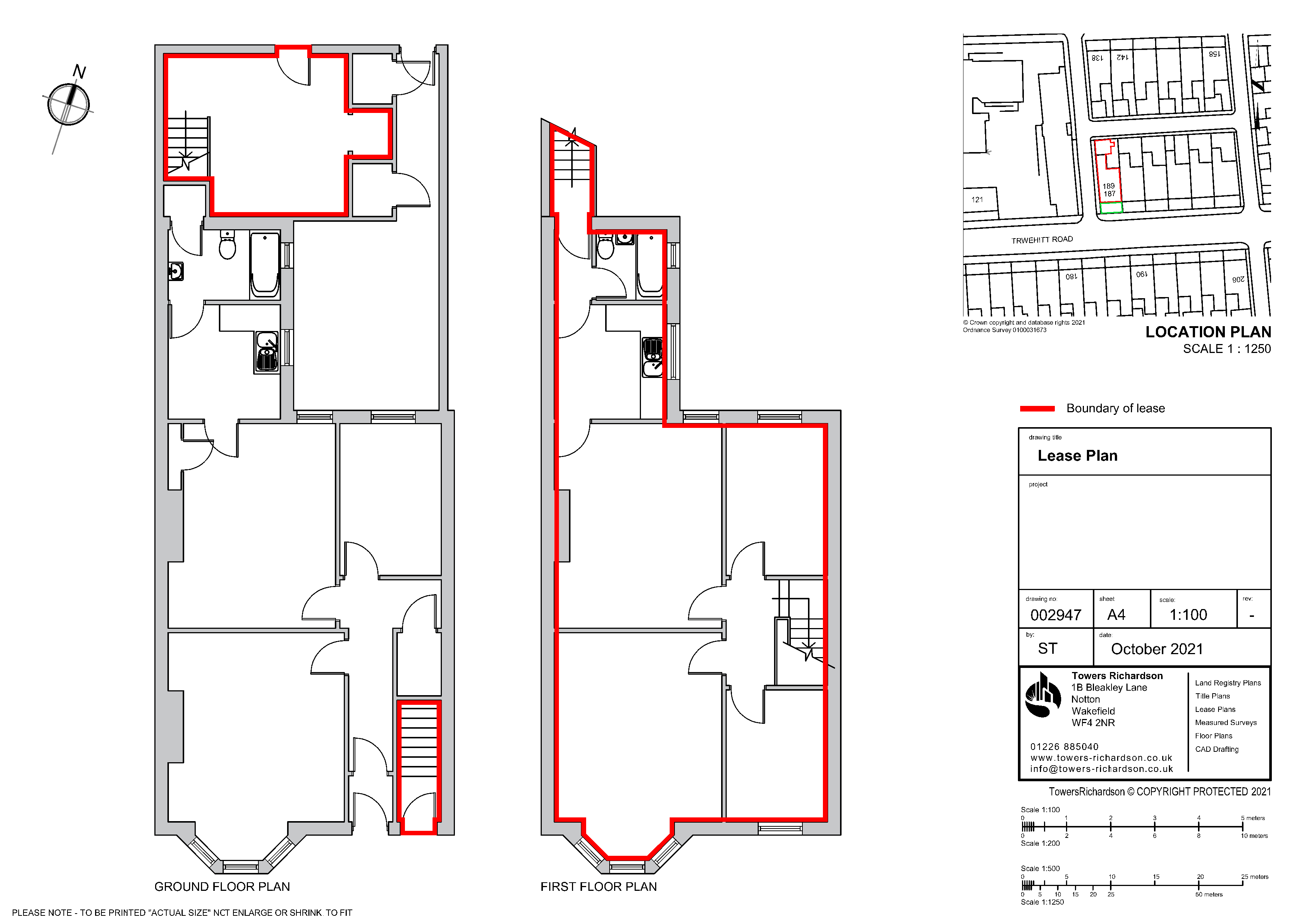
In creating a Land Registry Compliant Plan we make sure it follows the guidelines as stated in Supplement 2 of the Land Registry Practice Guide 40. Such things as:-
- Accurately drawn and to a stated scale (1:1250 – 1:500 for urban properties and 1:2500 for rural properties)
- Showing its orientation (a north arrow)
- Showing sufficient detail to be identified on the Ordnance Survey plan
- Showing the whole of the property including any garage, garden ground or bin store etc.
- Showing buildings in their correct (or intended) position
- Marking land and property clearly (for example by edging, colouring and hatching)
In terms of leases plans and unusual extents of land:-
- Showing where the property falls in relation to the external footprint of the building and/or in relation to surrounding detail which is shown on the Ordnance Survey map.
- Showing the extent at each floor level, if necessary by using separate plans
- For subsoil or airspace, shows the levels between the land falls or relates to Ordnance Survey Datum.
- Showing intricate boundaries such as internal divisions in a building.