Land Registry Lease Plan Specialist

What is the process
1 – Email your plans to us
Along with any relevant plans, we would also require the full address.
2 – You will receive your quote within hours
We will reply confirming the cost and if we require any further information.
3 – You will receive your plan within 24 hours
On acceptance of our quote, you will receive your completed plan in PDF within 24 hours along with our invoice. Payment is due on receipt of the invoice.
For more information on what to send see here
Free Changes
24 Hours Turnaround
UK Coverage
From only £95.00
Land Registry Compliant Lease Plan Requirements
1. The plan must be drawn accurately to a stated scale
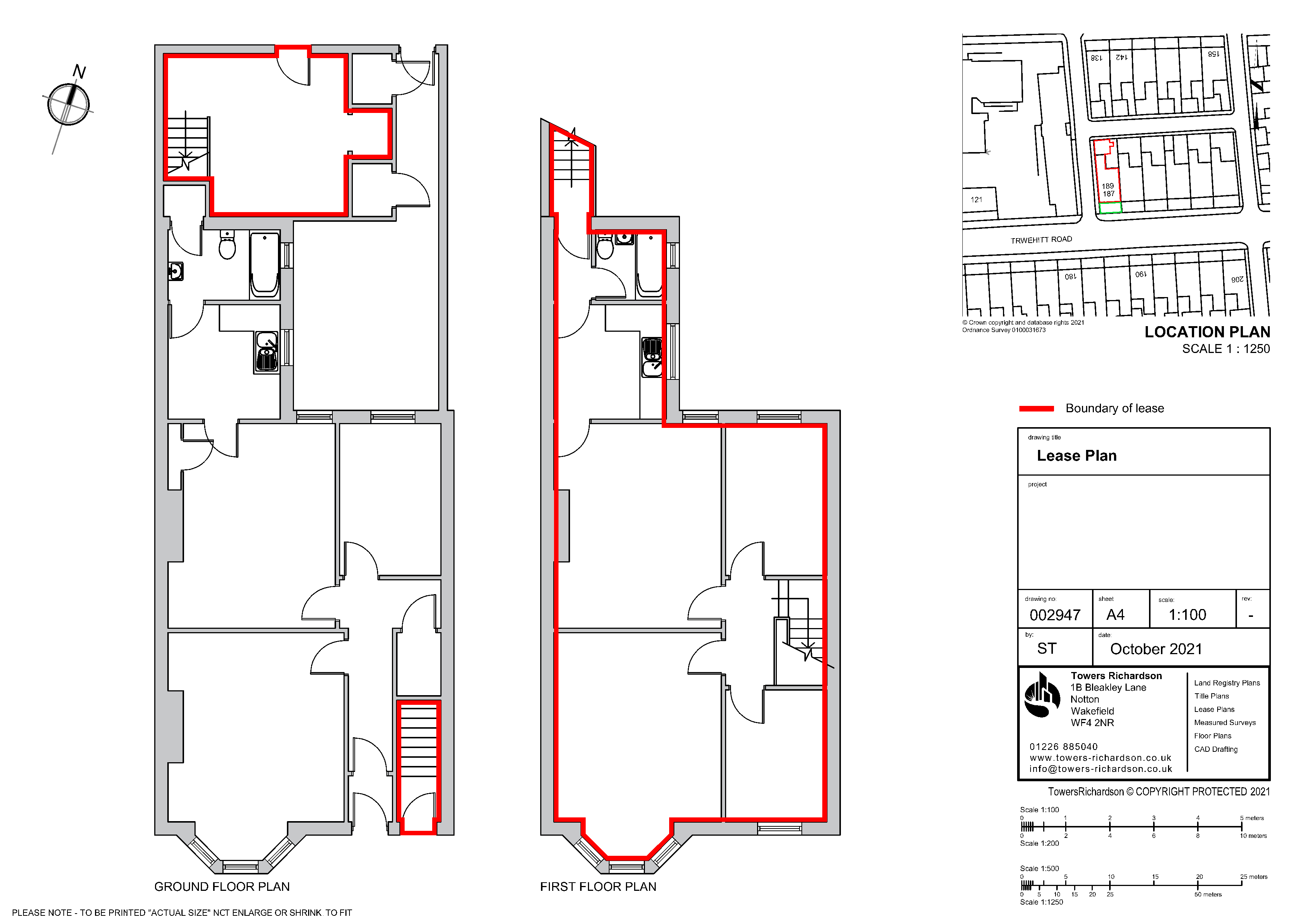
Our Land Registry compliant lease plans are 1:100 / 1:200 with the location plan being 1:1250. Making them easily fit on A4 paper.
2. The plan must show its orientation
All our plans shows a north point illustrating the orientation of the property. The north point on our location plan always points up to highlight where it sits on the Ordnance Survey map.
3. Demise Areas
All areas contained within the lease is identified in red and any communal areas drawn in green. Other colours and areas can also be shown to the requirement of the lease.
4. Floor Levels
Each plan needs to show where the property falls in relation to the external footprint of the building and/or in relation to surrounding detail on the Ordnance Survey map.
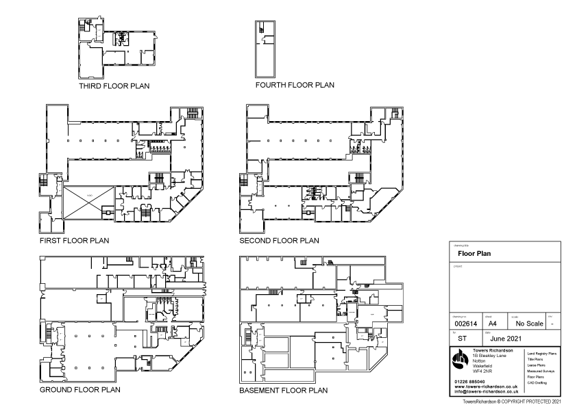
Each relevant floor level will be drawn identifying any areas contained within the lease or have a right over.
External Areas
Any external areas which are included within the lease needs identifying, including any gardens, car parking spaces, bin stores and garages.
Our Lease Plans Contain As Standard
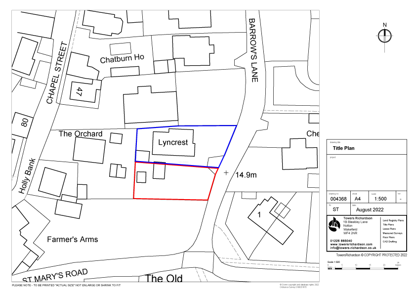
➤ Scaled plan insert (Scale 1:500 / 1:1250)
➤ Location plan insert (Scale 1:1250)
➤ North point
➤ Coloured Edging (to indicate areas referred to in the Lease)
➤ Emailed in PDF format for quick response
➤ A4 so you can printout as many copies you need
Our most popular plans
Land Registry Compliant Lease Plans (up to 100m2)
Land Registry Compliant Title Plans (up to 1 acre)
Land Registry Compliant Transfer Plans (up to 1 acre)
£95.00
£95.00
£95.00
For more prices see here



Jack Nuttall
Seriously impressive