Land Registry Map Specialist

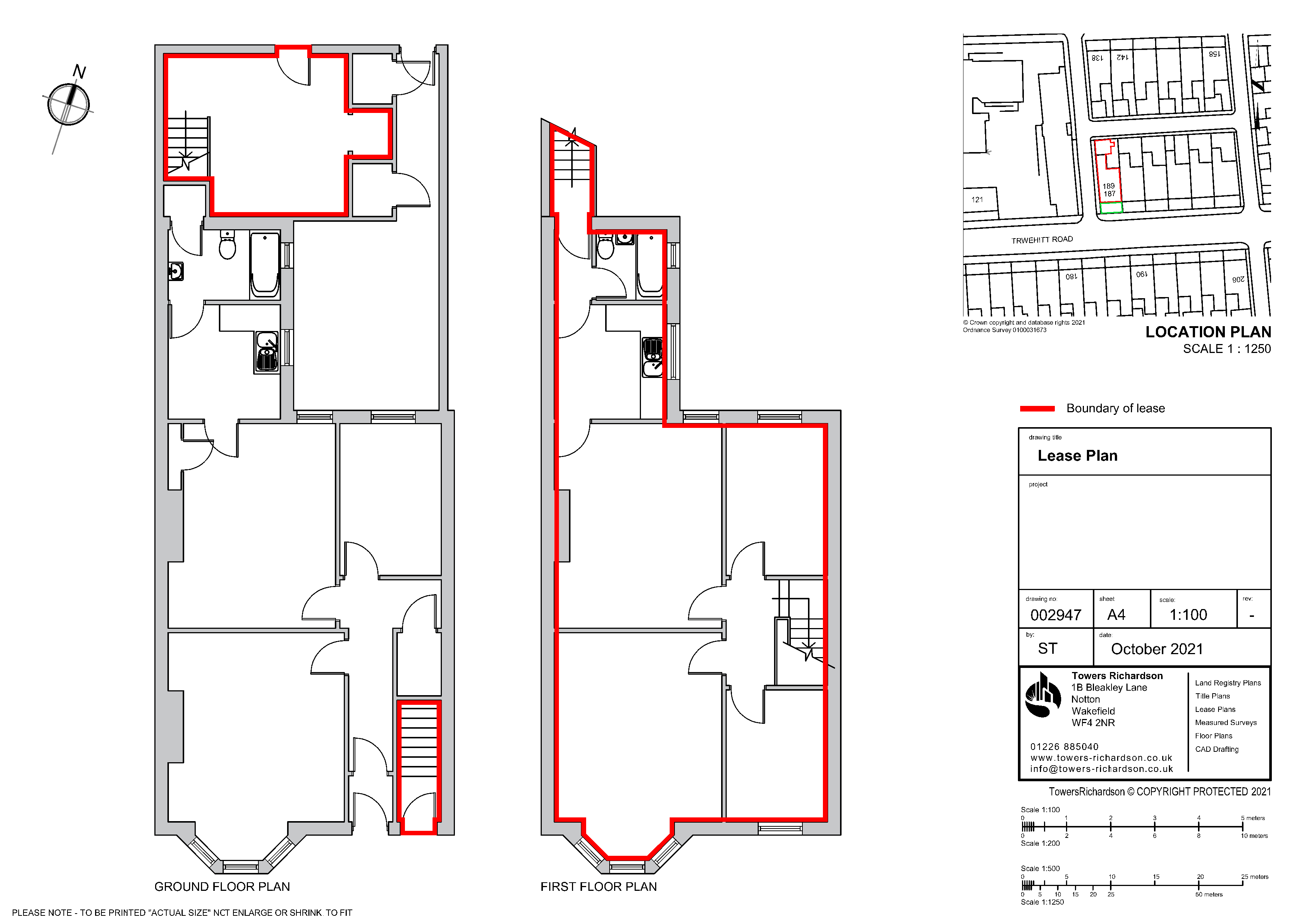
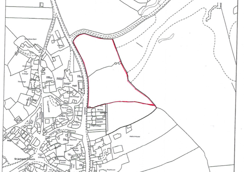
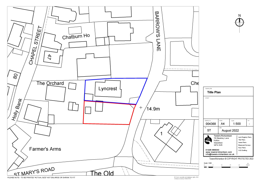
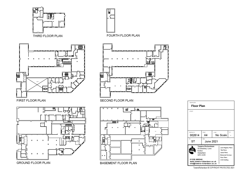
Examples of Land Registry Maps (Title Plans)


Examples of what to send


For more information on what to send see here
What is the process
1 – Email your plans to us
Along with any relevant plans, we would also require the full address.
2 – You will receive your quote within hours
We will reply confirming the cost and if we require any further information.
3 – You will receive your plan within 24 hours
On acceptance of our quote, you will receive your completed plan in PDF within 24 hours along with our invoice. Payment is due on receipt of the invoice.
For more information on what to send see here
Free Changes
24 Hours Turnaround
UK Coverage
From only £95.00
About Land Registry Maps
Land Registry Maps or Title Plans are an integral part of the property registration process, managed by the Land Registry. These plans provide a detailed visual representation of the boundaries of a specific property, helping to clarify ownership and prevent boundary disputes. When a property is registered with the Land Registry, a Land Registry Maps or Title Plans are usually created and attached to the property’s title register. This plan is prepared by licensed surveyors and is a key document in the legal description of a property.
The plans also highlight any easements, rights of way, or other encumbrances that may affect the property. When buying or selling real estate in the UK, these plans play a vital role in property transactions, ensuring that the legal description of the property is accurate and that all parties involved have a clear understanding of the property’s boundaries. Title Plans contribute to the transparency and efficiency of the conveyancing process, providing a visual guide that complements the legal documentation associated with property ownership in the UK.
Land Registry Property Title Plan Requirements
1. The plan must be drawn accurately to a stated scale
Our most commonly used scales for Land Registry compliant Title plans are 1:500 and 1:1250 for properties which are in urban or developed areas and 1:2500 for rural land. Other scales can be used, provided that the property can be identified in sufficient detail and fit on A4 paper. Any scales used must be based on metric measurements.
2. The plan must show its orientation
All our plans shows a north point illustrating the orientation of the property. The north point on our location plan always points up to highlight where it sits on the Ordnance Survey map.
3. Demise Areas
The Title is identified by a continuous red line encircling the area. Other colours and areas can also be shown to the requirement of the Title.
4. The plan must show sufficient detail of surrounding features
In order for the Land Registry to be able to identify where the property in question is situated and to accurately produce a new title plan (or to update an existing title plan), the transaction plan must show sufficient surrounding detail so as to enable the property to be identified on the Ordinance Survey map (which forms the basis of all Land Registry title plans). Surrounding details may include roads, other buildings and other features in the vicinity of the property as shown on the Ordinance Survey map.
Each relevant floor level will be drawn identifying any areas contained within the lease or have a right over.
5. The plan must not be marked ‘Draft’ or ‘For identification only’ or ‘Do not scale from this drawing’
All our plans which is submitted to the Land Registry does not include any of the above phrases – or any similar phrases indicating that the plan is a draft or that it cannot be relied upon. Whilst these phrases can be of assistance where the plan is in draft form at the early stages of a proposed transaction, the final plan used in the transaction documents must not include such wording.
Our Title Plans Contain As Standard
➤ Scaled plan insert (Scale 1:500/1:1250)
➤ North point
➤ Coloured Edging (to indicate areas referred to in the Title)
➤ Emailed in PDF format for quick response
➤ A4 so you can printout as many copies you need
Our most popular plans
Land Registry Compliant Lease Plans (up to 100m2)
Land Registry Compliant Property Title Plans (up to 1 acre)
Land Registry Compliant Transfer Plans (up to 1 acre)
£95.00
£95.00
£95.00
For more prices see here



Jack Nuttall
Seriously impressive